19.08.2025
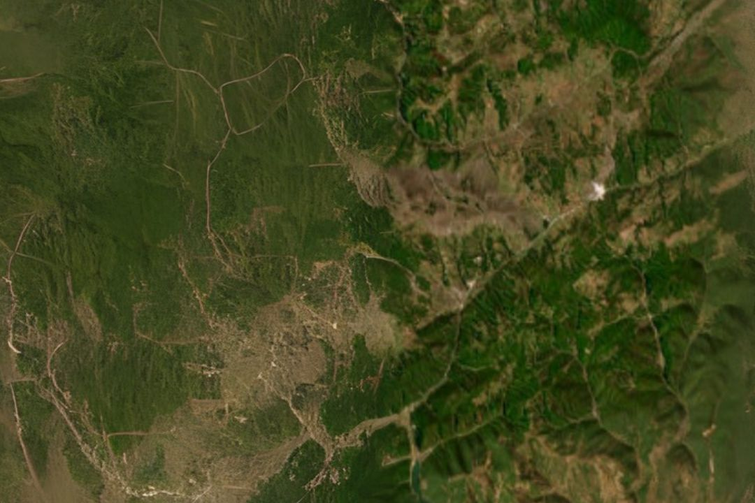
Thanks to SIR, standard satellite images from Sentinel-2 gain an entirely new quality. The enhanced resolution allows scientists to observe geological details invisible in standard imagery – from fine structures to lithological boundaries.
Our goal is to develop modern remote sensing methods that support resource exploration and the creation of more accurate geological maps – accessible to both science and industry.
Discover how we combine artificial intelligence, satellite data, and field research to reveal what cannot be seen with the naked eye.