GEO / 01
Geoinformatics
Reading the world through location.
GIS, spatial data, maps, Earth observation and patterns that only become visible when geography enters the equation.
Signal acquired
Coordinates.
Orbits. Code.
Geoinformatics · Space · Software
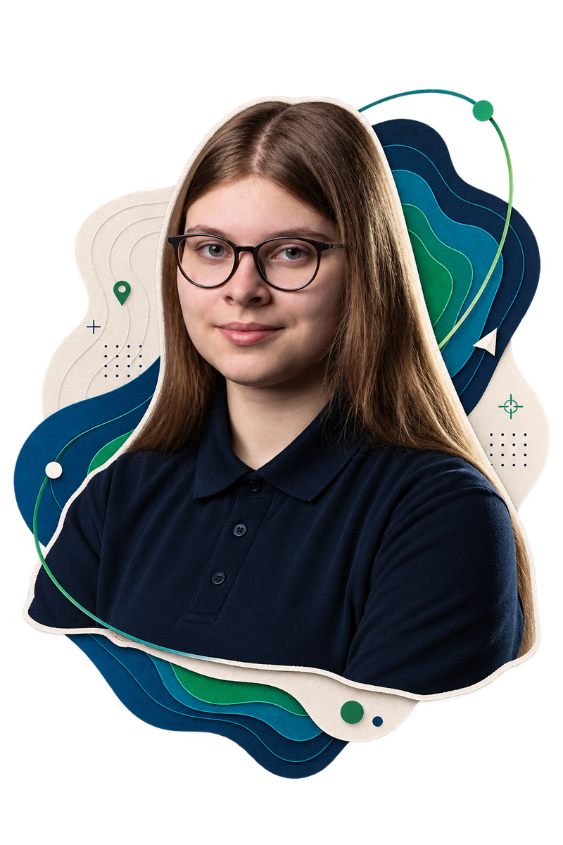
I’m Zuzanna Dybcio — an interdisciplinary technologist working where geospatial thinking, space and software meet.
Connect on LinkedInCurrent coordinates: Earth
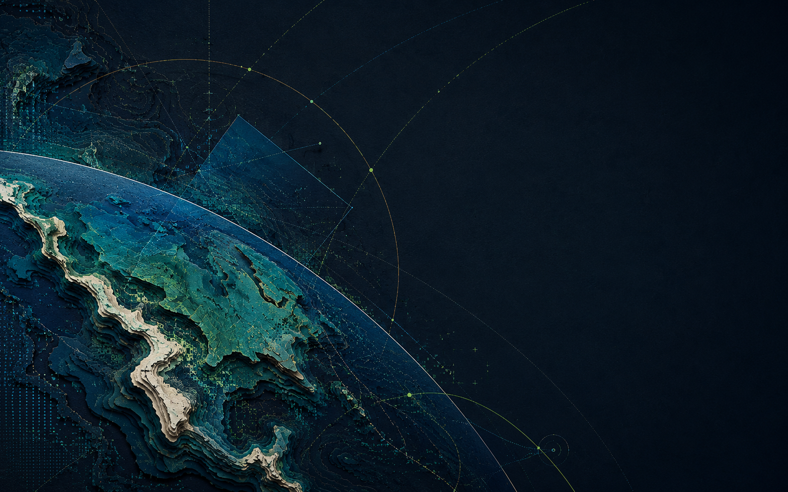
Geoinformatics lets me read the world through spatial data. Software turns that perspective into something useful. Space changes the scale entirely.
The most interesting work happens where those fields cross: remote sensing, Earth observation, data and machine learning.
02 / REFERENCE SYSTEM
GEO / 01
Reading the world through location.
GIS, spatial data, maps, Earth observation and patterns that only become visible when geography enters the equation.
ORB / 02
Another perspective on the same world.
Space brings together technology, data, science and people — which is exactly why it fits naturally into what I do.
DEV / 03
Turning ideas and data into things that work.
I like building, experimenting and understanding systems — from code and data processing to tools people can actually use.
03 / INTERSECTIONS
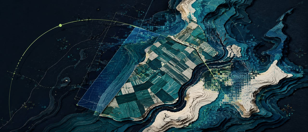
I don’t treat remote sensing, data science or machine learning as separate boxes. They are tools connecting spatial thinking, software and real-world problems.
04 / IN ORBIT
Primary signal
I’m a member of the Student Council to the President of the Polish Space Agency — an interdisciplinary advisory body connecting students and the Polish space sector.
Selected environments / affiliations
Different environments, one common theme: learning how technology, science and people connect.
Open channel
Have an idea, a project, or a perspective worth sharing?
I’d love to hear from you.