Offline coordinates
Beyond the Screen
Different terrain.
Same curiosity.
Curiosity doesn’t clock out when the screen goes dark.
Sometimes the best coordinates come with wind, water, altitude and a little adrenaline.
Back to Earth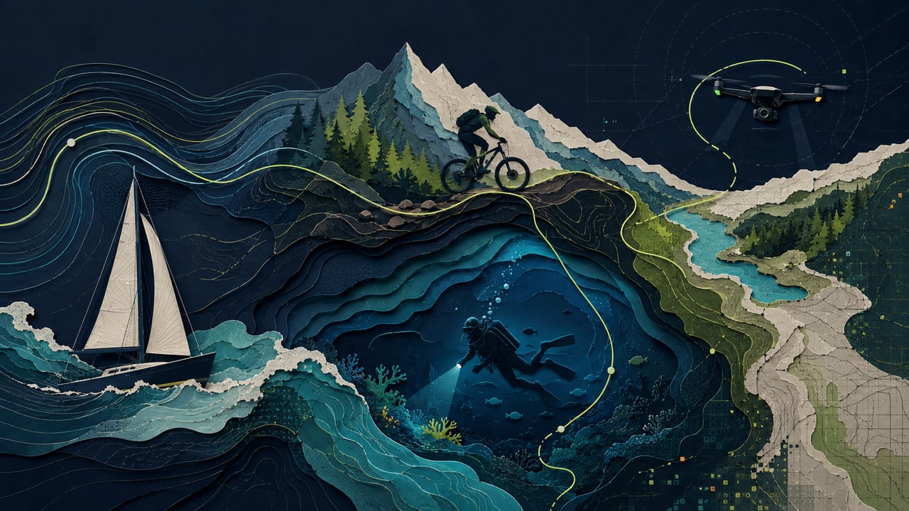
01 / WIND
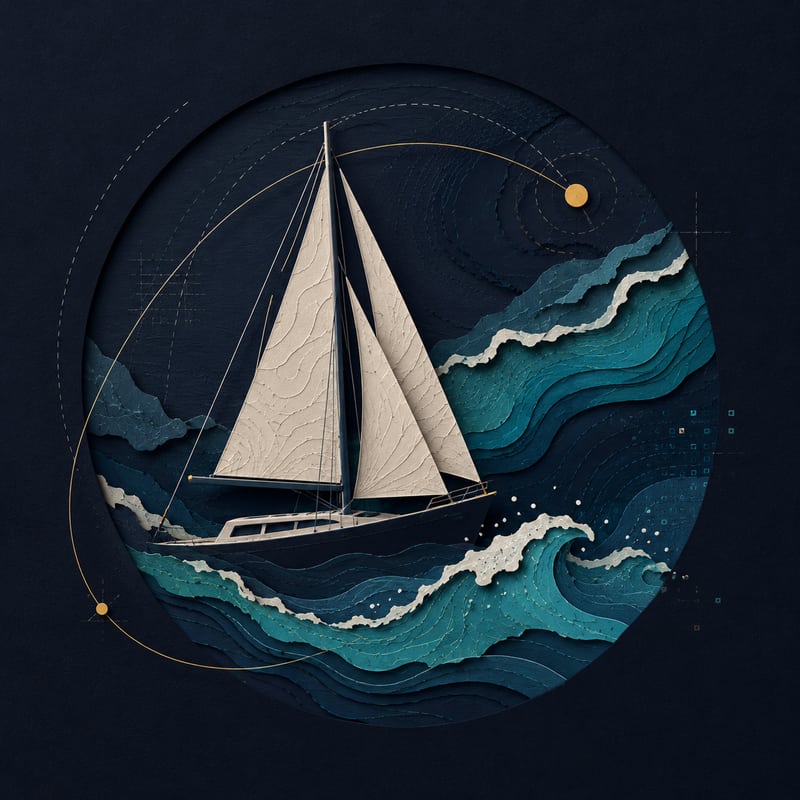
Sailing
Powered by nature.
Catch the wind, trim the sails, keep moving.
Sometimes the best propulsion system has been around for a very long time.
02 / ALTITUDE
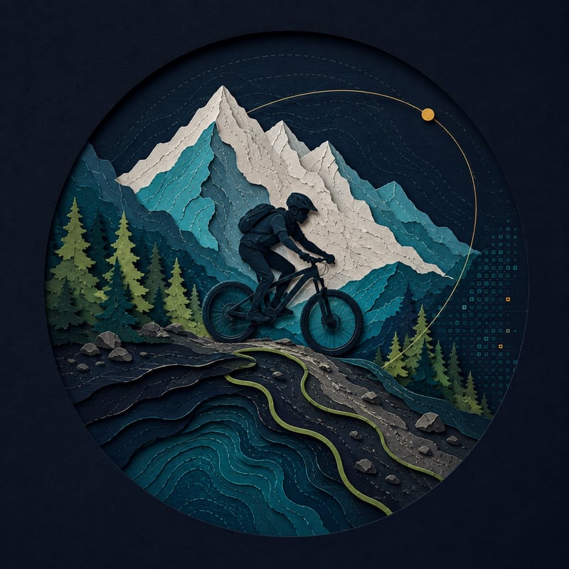
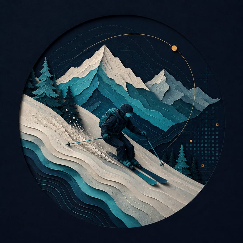
Mountains
Gravity helps. Adrenaline does the rest.
Mountain bikes when there’s dirt.
Skis when there’s snow.
Speed and terrain make a pretty good combination.
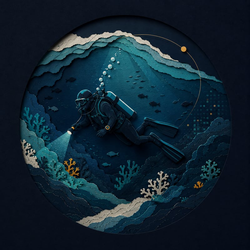
03 / DEPTH
Diving
Looking up. Diving down.
Different direction, same curiosity.
Some environments are worth exploring below the surface.
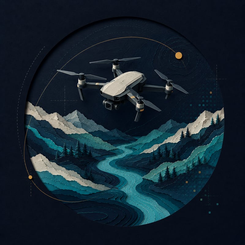
04 / VIEWPOINT
Drones
A different point of view.
Put a camera in the air and the world immediately becomes more geospatial.
Sometimes changing perspective is the whole point.
Return trajectory
Still exploring.
Back to geoinformatics, space and software.